PART ONE
Day One: Calgary to Fort McLeod, Alberta
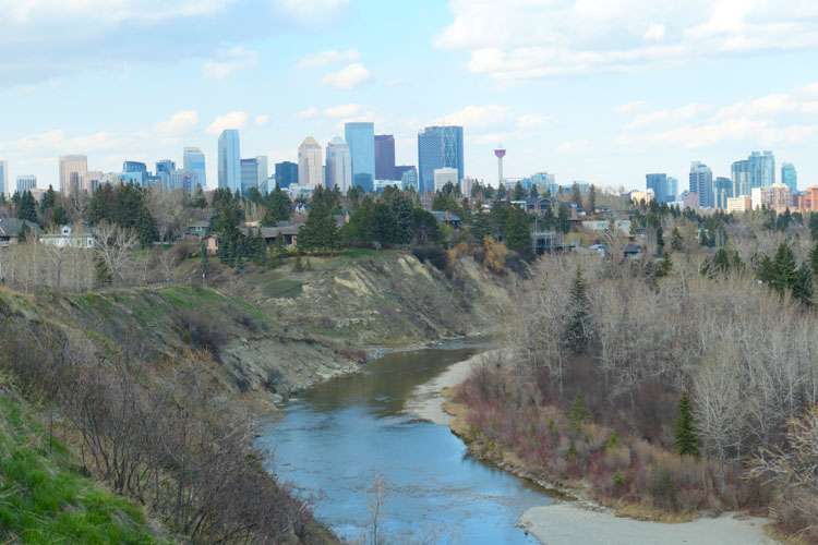
We had a week to spare in between housesits and decided to take a road trip into the Rocky Mountains. We had just completed our housesit in Vancouver and taken a 15 hour bus ride directly to Calgary on the other side of the Rockies. No sooner had we arrived, and we were on the go again!
After a serious amount of research, Shazz had arranged to hire a Dodge Grand Caravan through Turo for us to get about and sleep in the back. It was perfect as the rear seats folded down below the floor level and left us with ample room to stretch out after we put our sleeping gear in.
Turo is a bit like Airbnb (but for car rentals) and Mark, the owner dropped it off at our housesit the next morning. The only thing was, I’d have to drive him home – some 30kms away on the other side of Calgary. My eyes were still bleary from the bus ride yesterday, but we had no other choice.
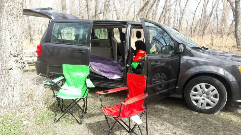
So, after a 60km turnaround in a city I’d never seen before, we were almost ready to get going. We put our stuff in the back of the car and headed to the nearest Walmart to pick up a few things. We needed a doona to throw over us, as our sleeping bags are only rated to zero degrees. We also bought a couple of cheap camping chairs and some rubber squares to put on the floor to even it out and make it flat.
The route we planned went south at first toward the US border, then west into British Columbia again, then north up to Banff, and back to Calgary. We chose this route for a couple of good reasons. Firstly, it was the Easter long weekend, and every campground from here to Vancouver Island would be chock-a-block full of holiday revelers. Secondly, by going this way, we’d get a first-hand look at our route down to the US border, a valuable reconnaissance of the lie of the land for us.
We knew the route ascends from Calgary to the border, but it is also something of a rollercoaster ride as well. In retrospect, we figured this would all be good training to prepare us for the first big mountain pass in the US Rockies. We’ll probably take about 3 days to ride to Fort MacLeod, whereas we took about an hour and a half to drive there.
We had also come this way on a recommendation from our friend Philip on Vancouver Island. He’d highly ranked “Head Smashed In Buffalo Jump” as a prime attraction to visit in Alberta. It’s just 20kms off the highway out of Fort MacLeod, so, rather than do it on the bikes, we’d do it tomorrow in the car instead. The name alone warranted a look!
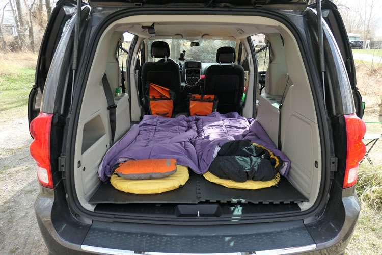
We found our way to the Daisy May Campground on the edge of Fort MacLeod and near the banks of the Old Man River. After checking in, we ordered some firewood, found our campsite near a small drop-toilet, and parked the car for the night. Before heading into town, we set up the sleeping bags in the back. There was heaps of room, and the rubber squares guaranteed it would be comfy.
Once we were satisfied with the sleeping arrangements, we walked up the hill into town. The main street of Fort MacLeod had just been used as a movie set with Kevin Costner enjoying the local hospitality for a few days. It looks just like a wild west town at first glance and has plenty of character. It also has a fort that used to house the Royal Canadian Mounties, but it was closed for the long weekend.
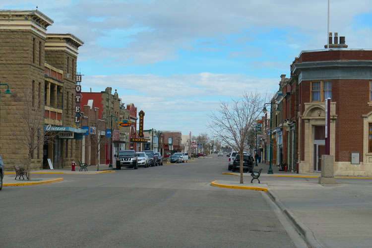
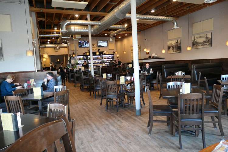
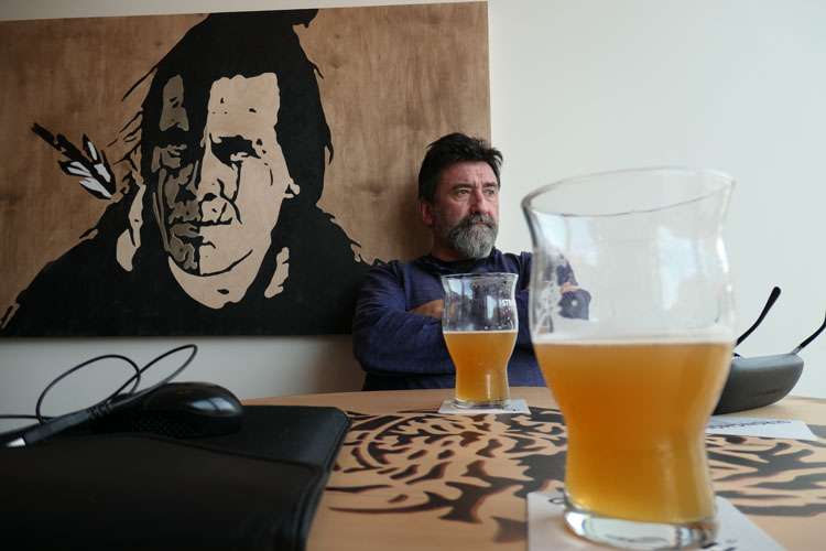
After a lap of the historic main street, we were delighted to happen upon the Stronghold Brewhouse, a craft brewery right in the middle of the main street! All bets were now off as there was only one place we were going next. Inside the taproom, we took a table next to the large front window to maximise our view. There were already a dozen people there and at least half a dozen kids. I’m no fan of kids at craft beer bars (or any bars for that matter), but I don’t make the rules and it was a bonus we hadn’t expected anyway.
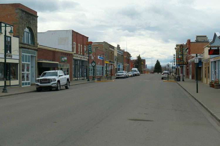
Having already seen the historic main street, we decided to settle in for a couple of pints and ordered some takeaway from across the road, which everybody else seemed to be doing as the brewhouse was only 3 months old and hadn’t completed their restaurant upstairs yet.
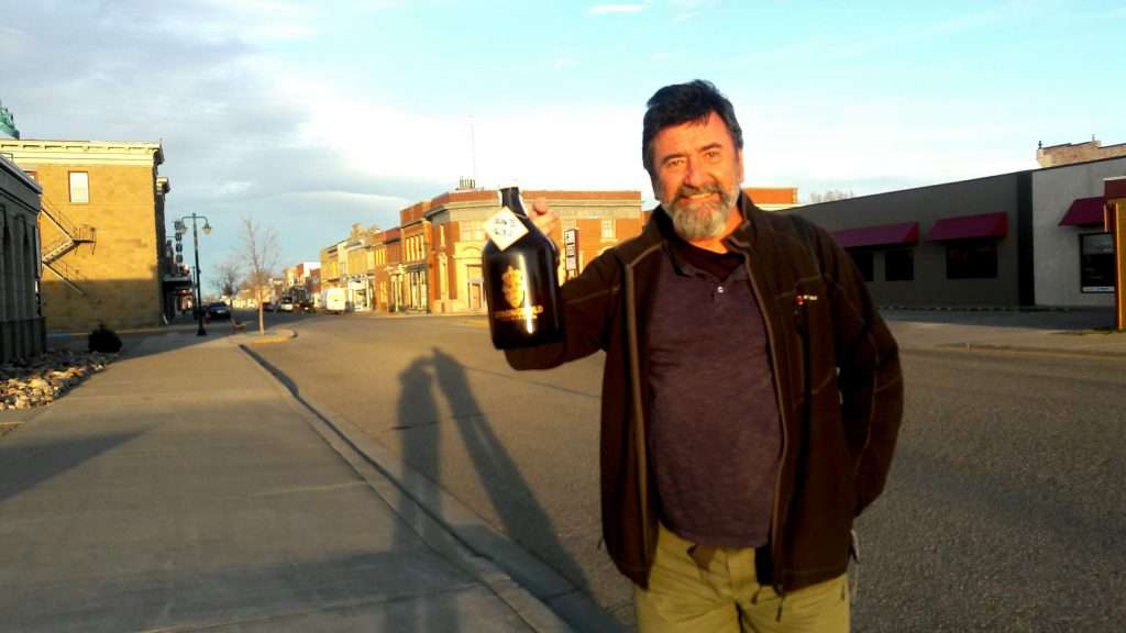
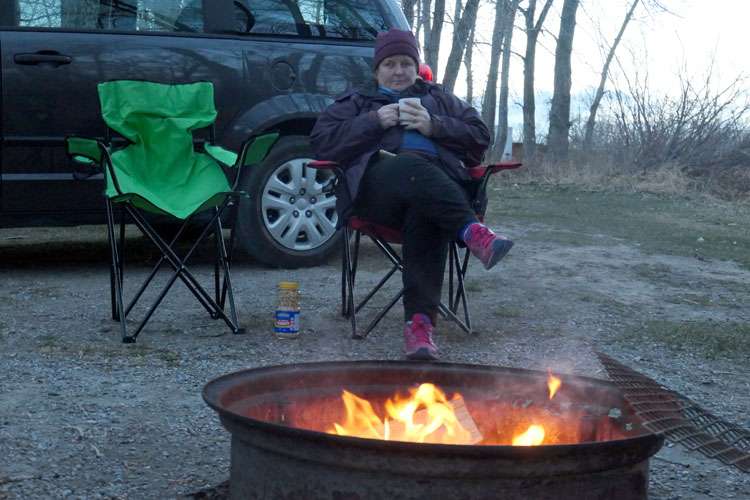
Once we’d eaten, we bought a large growler of their pretty tasty IPA and headed back to the campground in the fading light. The caretaker had delivered the firewood for us and we quickly got a cozy fire going. Our campsite was situated in amongst the woods and there was a lot of dry tinder to start the fire, but that meant we had to keep is small as to not burn down the campground! It was fairly cold, but it was great to sit around a campfire again, it has to be one of my favourite things to do, and it had been a while.
Day Two: Fort McLeod to Blairmore (Crowsnest Pass), Alberta
On our way out of the campground, we stopped and had a chat to the caretaker, he was a pretty friendly type. He used to run the place at one time. We told him we’d be back here in early June on our bicycles, I’m not sure if he believed me though! He recommended the local A&W cafe for breakfast – best coffee in town he said, and he wasn’t far off the mark either!
As we had been recommended by our mate Philip from Vancouver Island, we made our first port of call this morning to Head Smashed In Buffalo Jump. It’s a short 20kms out of Fort MacLeod and, apart from the best name I’ve ever heard for a cultural attraction, it is one of the best-presented exhibitions we’ve come across.
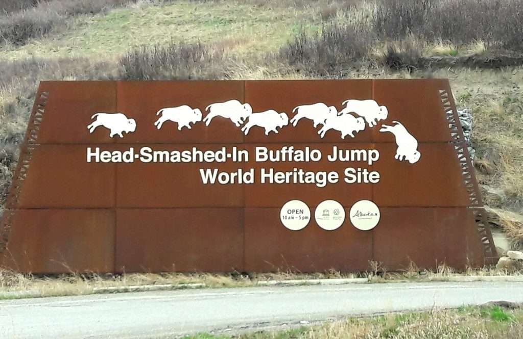
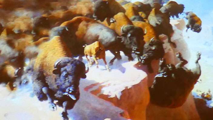
The UNESCO World Heritage-listed site is set into the cliffs of the nearby foothills of the Porcupine range that overlook a vast expanse of endless prairies to the south and east. The cliffs were used by the local Blackfoot people to stampede buffalo over, an ingenious method of hunting for food, but also providing them with skins for clothes and tents and other various parts that all got used for something. The site had been in use from about 5,500 years ago.
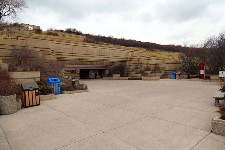
Everything was going swimmingly for the locals until the Whiteman showed up. They saw an avenue to exploit in the use of the bones to make gunpowder and fertilizer (from the phosphate). From that point on the gig was up and a way of life was to come to an end. Fortunately, Head Smashed In was somehow left to its own demise and is the oldest and best preserved of all the similar sites.
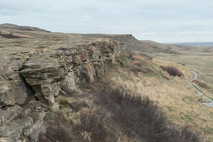
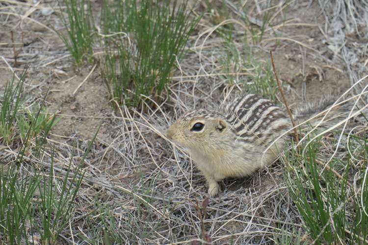
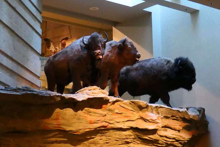
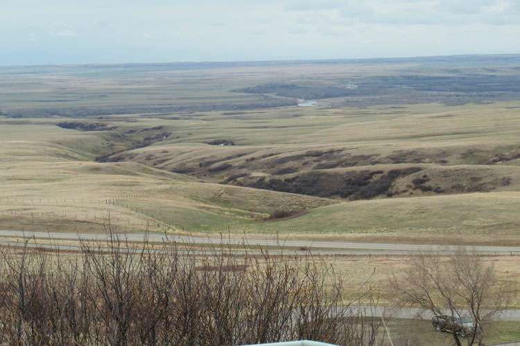
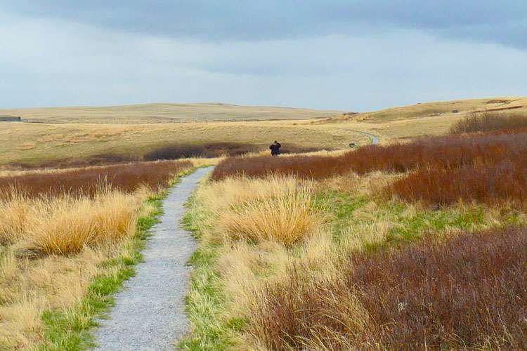
We hung around for about 3 hours, it was a really interesting place. After a one kilometre walk around the killing fields at the base of the cliffs, we head back to the car and down to Highway 3 and turned west towards Crowsnest Pass.
Crowsnest Pass is an area rather than a particular place. It marks the start of the Rocky Mountain foothills and the Continental Divide. It is also the border with British Columbia. The road to the pass climbs almost continuously through some high prairie, and will certainly be good practice for the mountains to come on the bikes.
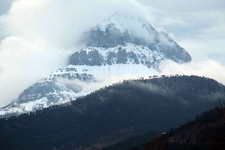
Most of the places along the way are small and certainly rustic. Our biggest problem around here will be keeping out of the strong westerly winds when we camp, let alone when we’re riding! The first place that seemed to be of any interest was a small town called Frank. Frank was the scene of Canada’s largest rockslide with half of the nearby mountain collapsing onto the town. Fortunately for most of the inhabitants of the time, the slide only affected a small part of the town and casualties were much less than you’d expect. You can still see the large expanse of rock fields as you drive by, most of it 30 metres deep.
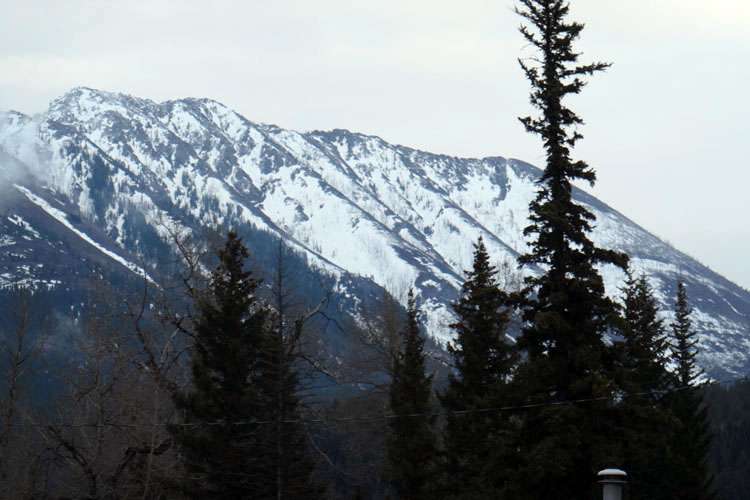
We continued up to nearby Blairmore and the Lost Lemon Campground on the western edge of town. Once again there were few campers and we were given a site at the other end of the place not too far from the toilet block.
The whole day had been overcast, cold and rainy. Much like the rest of Canada, the people up here have to be applauded as hardy folk. These kind of days don’t really do it for me and I couldn’t help but feel a little miserable. Being cold is certainly not my favourite thing!
We took the car up to the local Chinese restaurant, Ben Wong’s, and sat and ate some pretty good (and plentiful) Chinese food in the warmth of the seemingly popular restaurant. The Chinese owner wished us a Happy Easter as we paid and left, I figure she’s probably a Christian.
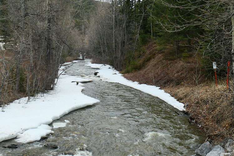
Back at the campground, we moved the car a little closer to the toilet block as there were no other people on our side of it. Surrounded by snowy mountains, we took a beer and went and sat by the banks of the small creek which bordered the campground. The sky had begun to clear and we could see some stars appearing alongside the peaks. It usually means we’d be in for a cold night.
Unfortunately, it was too cold and windy to bother starting a fire, and anyway, we didn’t have any deal to get the fire started. We still had plenty of wood though and it’d keep till another night.
Day Three: Blairmore (Crowsnest Pass), Alberta to Cranbrook, British Columbia
We had to start the car last night to warm us up. We can do this remotely as there’s a button on the keyring. The car will start automatically and shut off after 15 minutes – amazing, and we can stay in our sleeping bags!
When we awoke, the whole place including the car was covered in a thick frost. It had gone subzero overnight and wasn’t much better now. The big plus was, the sun was out and the sky was blue. There wasn’t a cloud to be seen. We pulled into a Tim Horton’s cafe for breakfast. The coffee isn’t something to write home about, but their fried breakfast isn’t too bad.
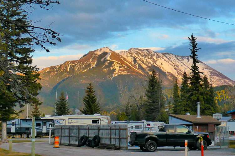
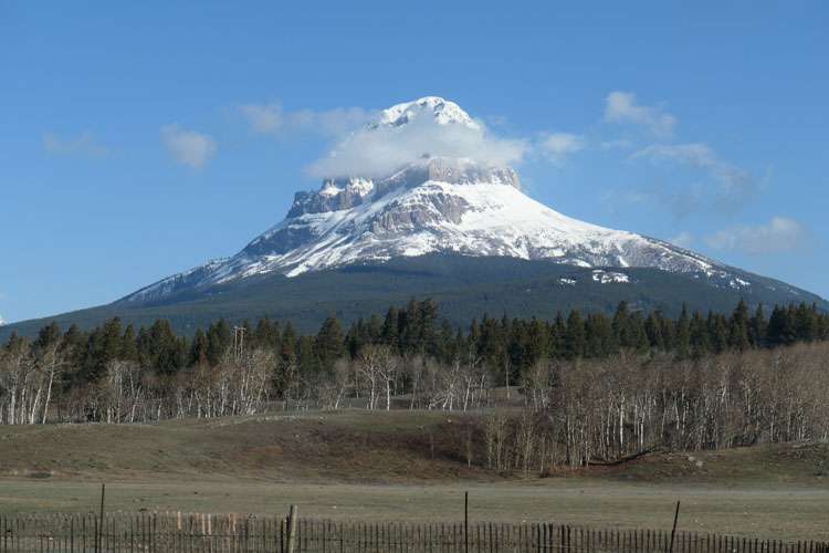
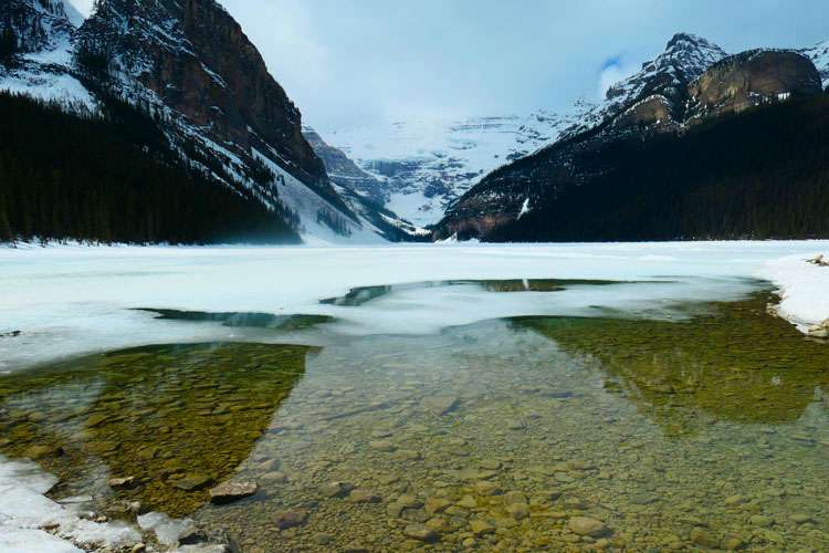
Today we took our time and made our way to Cranbrook, the largest town in the south of the Canadian Rockies. Not far out of Blairmore we stopped to take some photos of the mountain range and saw a sign pointing to Chinook Lake, some 6 kilometres up a small side road. The road led around the back of the imposing Crowsnest Mountain, which dominates the area. Sadly though, we couldn’t get all the way up to the lake as yet because the last 2 kilometres were closed as they hadn’t been cleared of snow as yet.
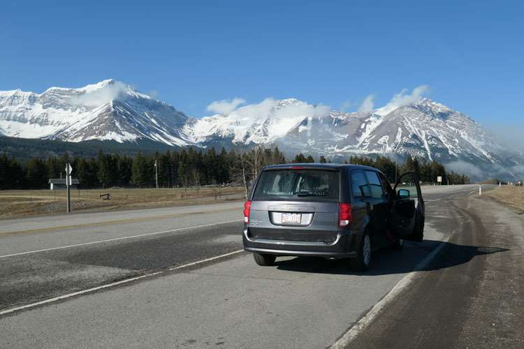
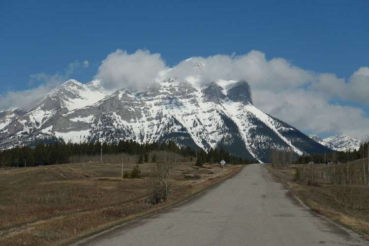
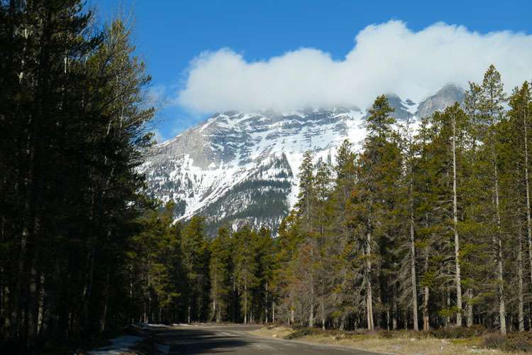

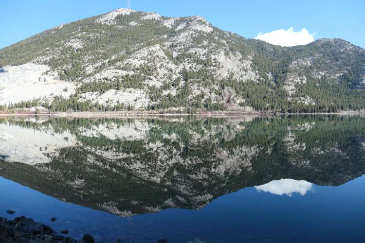
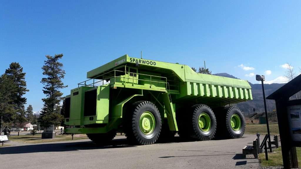
On our way again, we stopped briefly at Sparwood and Shazz got a picture of The World’s Largest Truck (allegedly).
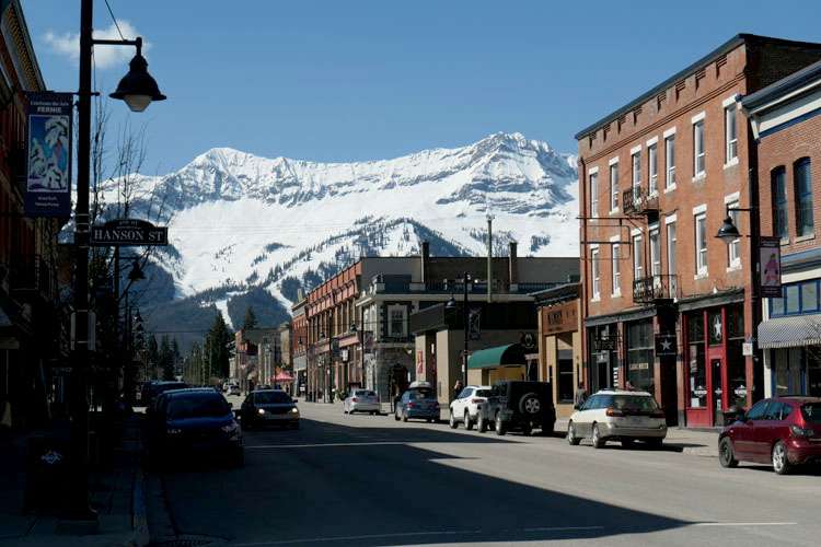
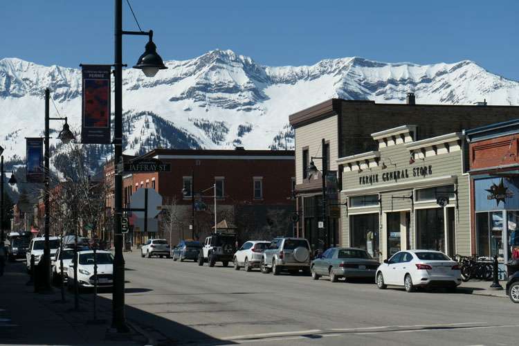
Further down the track, we visited the small but picturesque town of Fernie, somewhere we might stay overnight on the bikes. It is totally surrounded by snow-capped mountain peaks and has an historic old town that looks something like a set from a cowboy movie. It also has a pretty good craft brewery I’m told, but it was too early in the day for that!
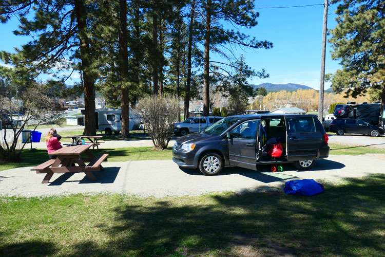
At Elko (the last place we’d see on the bikes before the US Border crossing), we turned and headed north to Cranbrook and followed the signs to the well-situated Baker Park Campground, right in the middle of the city, and just a few blocks from the Safeway and the Fisher Peak Brewing Company based in the Heid Out Restaurant. It didn’t take us long to settle in and go for a walk down there.
We had a couple of pints of IPA each and a Ploughman’s Platter of assorted meat and cheeses before walking back to the campground. Unfortunately, it wasn’t allowed to have fires in this particular site, so we just sat around till it got too cold and then we moved to the car. It doesn’t get dark now till after 9 pm, so we just sat there and chatted till it was time for bed in the back.
